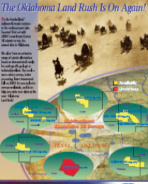
ACQUIRED SURVEYS, REPORTS & DATASETS

At JEBCO we optimize data, in prospective regions, through niche surveys at a low cost, utilizing the best and most appropriate acquisition and processing.
USA Downloable PDFs below
CANADA Downloable PDFs below
| 3D Seismic coverage - | ||
 |
 |
|
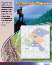
Cabin Creek |
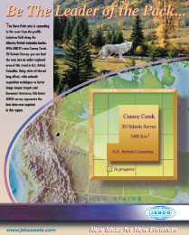
Conroy Creek |
|
| 2D Seismic coverage - | ||
 |
 |
|
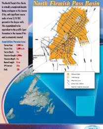
North Flemish Pass |
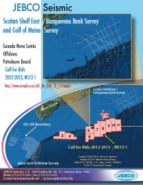
Scotian Shelf East |
|
 |
||
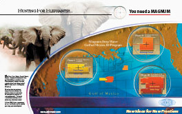
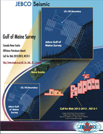
Gulf of Maine |
||